


How to create a really cool Wi-Fi map of your neighborhood
Oct12
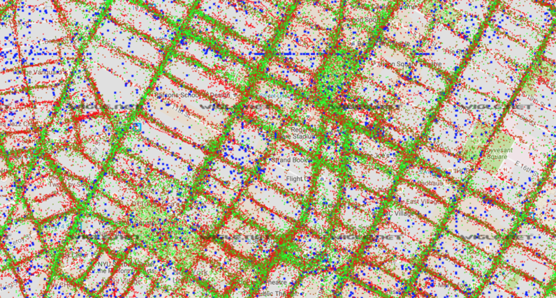
Have you ever heard of wardriving? It’s the act of searching for and mapping Wi-Fi networks from a moving vehicle. It’s a really cool way to create a map of the wireless signals in a certain location. Scott Helme shows us it’s not that hard to do. He equipped his car with the right tools, drove around his town and mapped a total of 10,442 access points. He then proceeded to put all of their coordinates together in Google Maps, resulting in the following alternative view of his neighborhood: Luckily, Scott also carefully explains how he did it so we can all have a…
This story continues at The Next Web